Ben Eoin Provincial Park
Trail Info
Directions
Maps / Tracks
References
Trail Info
Length: 1.7 km
Duration: 45min
Difficulty: 2
Cell Phone Service: Yes
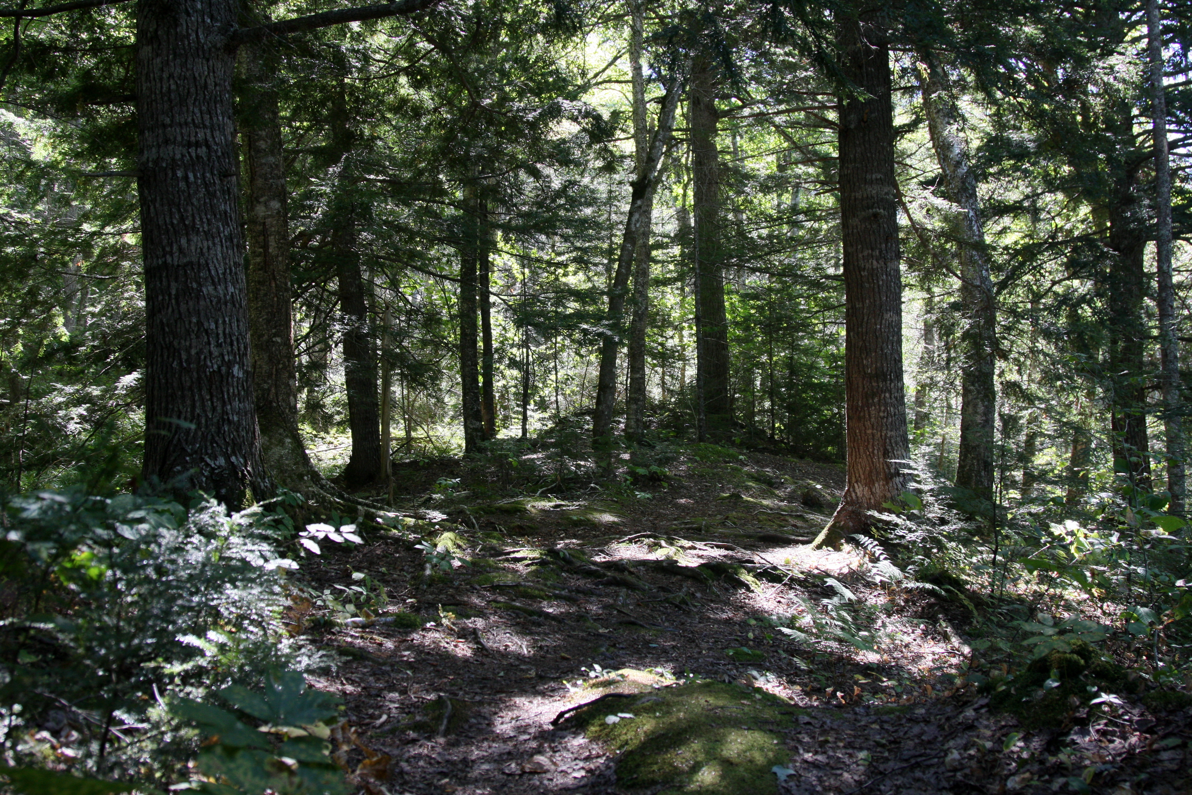
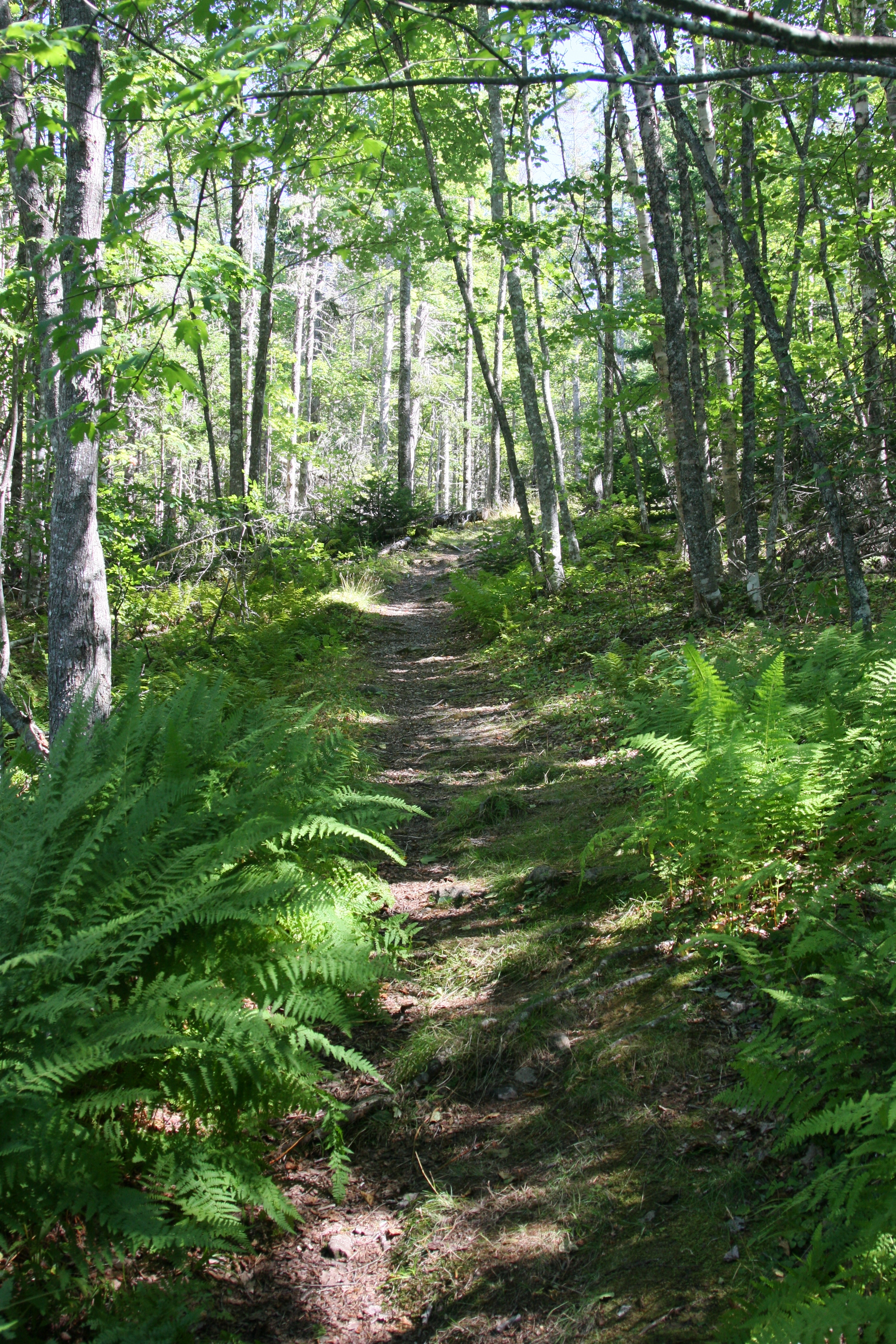
The Ben Eoin Trail offers a nice gradual elevating hike that leads to a well-cleared look-off on a rocky ridge of the East Bay Hills. The panoramic view of the East Bay of the Bras d'Or Lakes is simply wonderful. The trail is well cleared and worn.
The trail starts at the back of the Ben Eoin Provincial Picnic park and is clearly signed. The park is open from dawn to dusk and is free for use.
Duration: 45min
Difficulty: 2
Cell Phone Service: Yes
Bio
The Ben Eoin Trail offers a nice gradual elevating hike that leads to a well-cleared look-off on a rocky ridge of the East Bay Hills. The panoramic view of the East Bay of the Bras d'Or Lakes is simply wonderful. The trail is well cleared and worn.
The trail starts at the back of the Ben Eoin Provincial Picnic park and is clearly signed. The park is open from dawn to dusk and is free for use.
Directions
The trail starts in the Ben Eoin Provincial Picnic Park which is along Route #4. Signs indicating the park on the right side of the road before Ski Ben Eoin. The trailhead is well signed and at the back of the park.
Maps / Tracks
Gov Trail site: https://trails.gov.ns.ca/SharedUse/cb023.html
References
Wikipedia Page: Ben_Eoin_Provincial_Park
Share:
- Click to email a link to a friend (Opens in new window)
- Click to print (Opens in new window)
- Click to share on Twitter (Opens in new window)
- Click to share on Facebook (Opens in new window)
- Click to share on Pinterest (Opens in new window)
- Click to share on LinkedIn (Opens in new window)
- Click to share on Reddit (Opens in new window)
- Click to share on Pocket (Opens in new window)
- Click to share on Telegram (Opens in new window)
- Click to share on WhatsApp (Opens in new window)


