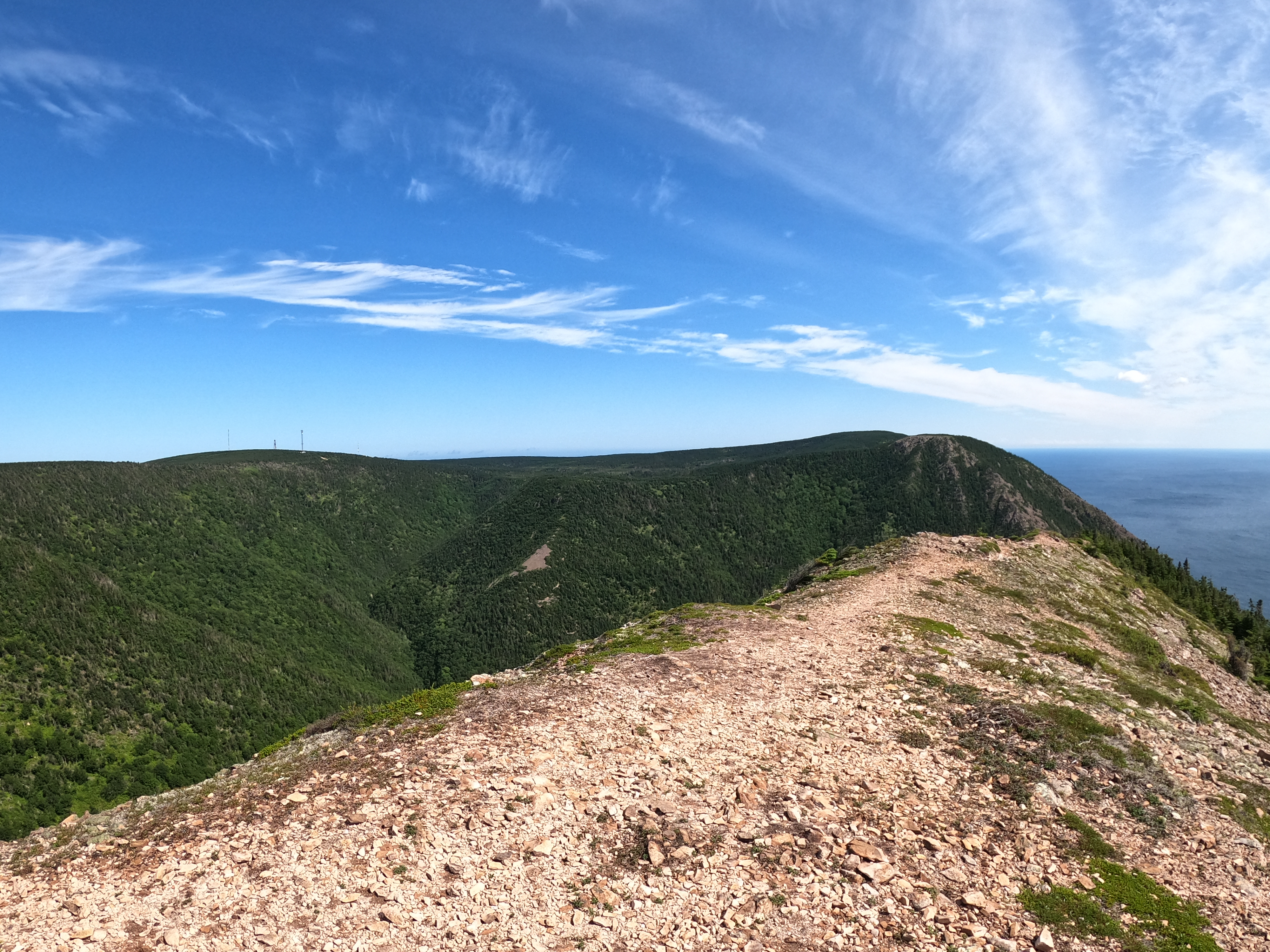
Kauzmann Trail
Trail Info
Trail Stats
Directions
Maps / Tracks
References
Trail Info


Trail Stats
Min Elevation: 373m
Max Elevation: 395m
Elevation Gain: 71m
Calories Burned: ~269kcal
Mean Incline: 9%
Mean Decline: 10%
Directions
From the Bay of St. Lawarence turn onto 6014 Road and drive 3.4 km. There is no sign marking 6014 Road, but it can be identifiable because of the gravel that spills out onto the main road from rock quarry/trucks moving the gravel. The trailhead is at 46.999472, -60.432806 (as of Aug 2021) is marked with blue and orange tape. There is a rock quarry on this road and if you are driving a car, you probably can't drive any further than this. If you have a truck or SUV you can drive right to the trailhead.
Maps / Tracks
