Franey Mountain
Trail Info
Directions
Maps / Tracks
References
Trail Info
Length: 7.62 km
Duration: 2.5h
Difficulty: 3.5
Cell Phone Service: No
Duration: 2.5h
Difficulty: 3.5
Cell Phone Service: No
Bio
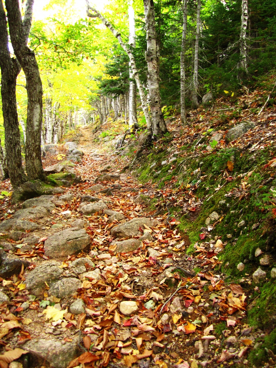
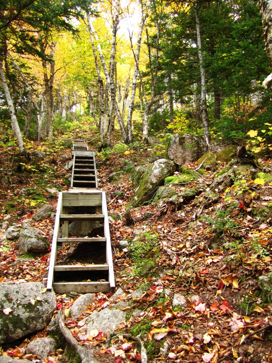
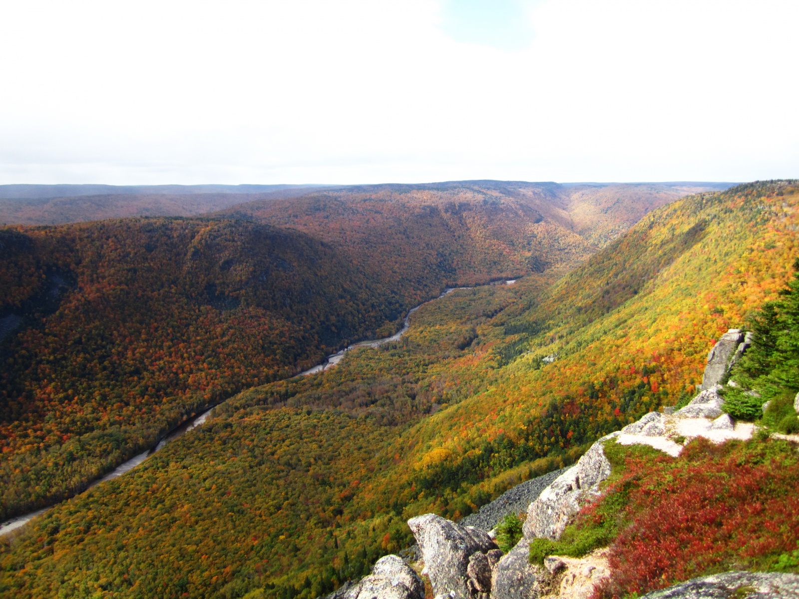
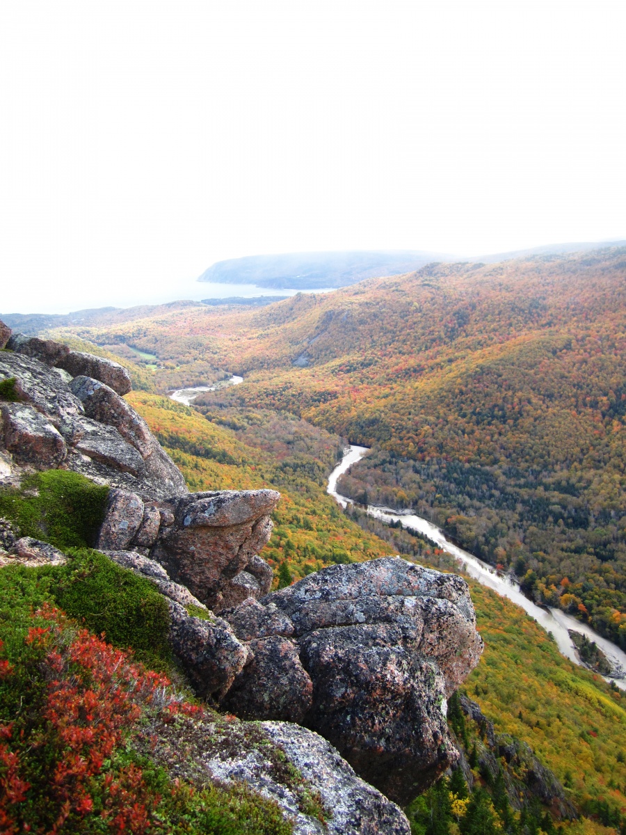
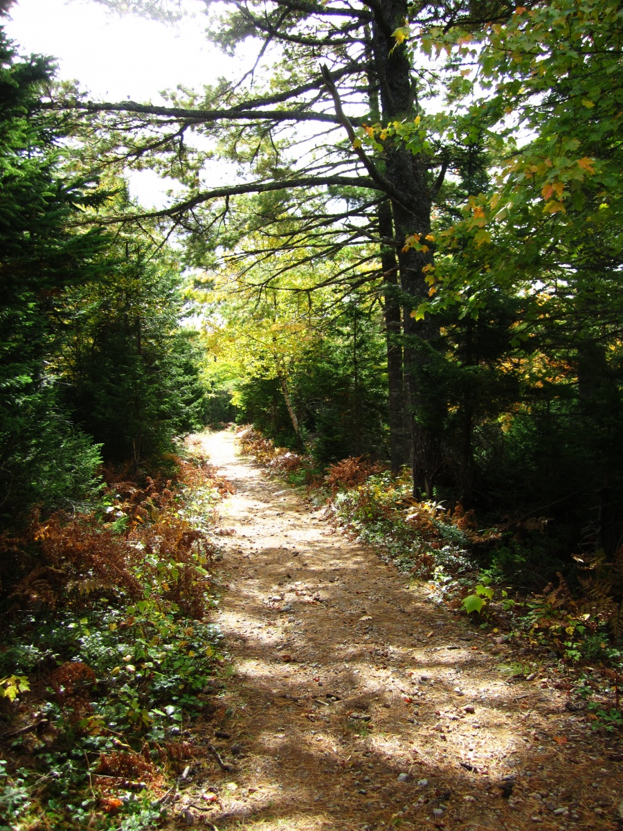
Franey Mountain is likely the busiest mountain hiking trail on the Island, but it is a must-see without question. It starts off climbing slowly through hardwood/softwood forest, eventually making it to the first steep section. From there it becomes tougher as you climb, eventually reaching the summit 335 meters above sea level. The view is priceless, one of Cape Breton’s showcase views. Most folks return via the old access road, which loops back around the mountain and has two side trails that visit MacDougalls and Canns Lakes. You can also return the same route you came in on, the distance is around 6.19 km’s if you chose that path.
Directions
Head into the Cape Breton National park on the Ingonish side. Once passing Clyburn Brook, turn left onto Franey Road and follow to until you reach the trail head. Use the Map for more precise directions.
References
Share:
- Click to email a link to a friend (Opens in new window)
- Click to print (Opens in new window)
- Click to share on Twitter (Opens in new window)
- Click to share on Facebook (Opens in new window)
- Click to share on Pinterest (Opens in new window)
- Click to share on LinkedIn (Opens in new window)
- Click to share on Reddit (Opens in new window)
- Click to share on Pocket (Opens in new window)
- Click to share on Telegram (Opens in new window)
- Click to share on WhatsApp (Opens in new window)

